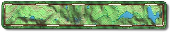
Mammoth Lakes

This is the best, easy access and great scenery. 5 miles of uphill and 8 miles of great downhill single track (for the most part). It starts in town so if you happen to forget something you don't have far to go to find whatever. This is such an easy trail to follow so even though I took the GPS I didn't note the turns. The uphill on the road is a no-brainer and the single track on the way down is marked with little bicycle signs at every turn.

Mammoth is a great place hang out, lots to see and do. There seems to be a building boom going on, which surprises me because it's adjacent to an area that is likely to be the next major volcanic eruption in the US. Although it's been fairly calm over there as of late it generally rocks and rolls from earthquakes on a regular basis. Having grown up in SoCal I like the natural experience of earthquakes. On the other hand an earthquake has never swallowed my house.
To get to the start from Hwy 395 you come into Mammoth Lakes on Hwy 203. You will drive well into town until you get to Minaret Rd. Make a right, there should be a sign indicating that Hwy 203 goes that way to Mammoth Mountain Ski Resort and the Minaret Summit. It might also mention Devils Postpile. After making the right there should be a huge condo project on your left with its own chair lift just up the road. Right after you pass the gondo condo units make a right on Forest Trail and left into the public library parking. You can only park in this lot for 20 hours so be quick. ;-)

Just across Hwy 203/Minaret Summit Rd. from where you are parked is the Uptown/Downtown Trail. If you do this trail the way we do it this will be where you come out at the end of the day. We ride up Hwy 203 to Minaret Summit (5.3 miles), which provides a great view of the Minarets. After passing through Mammoth Mountain Ski Resorts parking lot the next turn will be at the Summit parking. You make the first right and stay right, head towards the big trail sign. To the right of the sign is a dirt road going slightly down. Go down the road; note that there are two trails on your right that go to town or the ski resort. These are for foot traffic. This is probably the hardest trail to find and it's a piece of cake. If you have made a gradual turn to the left and head uphill you have gone too far. The one you want is a bit further down and has two posts (may be rocks) emulating a gate and a sign with a bike on it. This is the Mountain View Ride. Let the fun begin.

After you ride down a ways you come to a meadow section where you will actually have to pedal. ;-) Towards the end of the meadow section you will have a view of Mammoth Mountain Ski Resort on one side and a view North up the valley.

When you leave the meadow there will be some turns to make. You are on a double track through the meadow soon you will turn back onto a single track. Watch for the bike signs, if you come to a fork and there isn't a bike sign stay on the single/double track you are on. It's really not that hard as we are professionals at getting lost and we have ridden this twice without getting lost.

  Right after you go by the Earthquake Fault Picnic Area you cross over Hwy 203. Just after you cross you come to a four way single track intersection. This wasn't marked when we were there so here is how it goes. The one to the right goes to the ski area, the one to the left is the uphill part of the Uptown/Downtown Trail and I bet you know which one you want, go straight onto the downhill part of the Uptown/Downtown Trail. They run parallel with one another; they are there to keep people from running into one another.

When you come back to the road your car is right across the street. What a great ride. I mean how often do you get to ride uphill for less distance then the downhill?

Site created by D. J. Gabbard
Copyright © 2000-2004
All rights reserved.