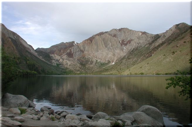
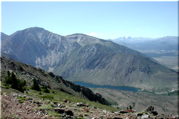
Mt. Morrison

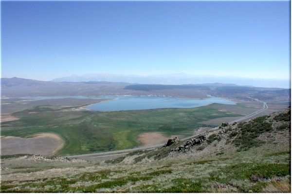
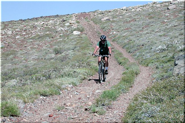
The first time we came here to ride bikes we chuckled about riding up those switchbacks and after riding the Laurel Lakes trail we had pretty much decided that it was just wistful thinking. Sitting in camp at Convict Lake it was easy to look up and think how it just didn't look that bad because there were switchbacks going all the way to the top. It's not like you have to go straight up. har har

So this year it was now or never and now won.

Traveling south on Hwy 395 from Mammoth Lakes you will come upon the airport on your left and just after that is the turn (right) to Convict Lake. The next right will be Mt. Morrison Rd., you can only go right. After you pass the cemetery you will make a left onto a dirt road that runs under the power lines. Take this road south till it turns and runs up the canyon. At the next fork (you are almost there) you will make a left and head to the sign at the bottom of the switchbacks that reads "Road closed in two miles" and park at that four way intersection. Mount up and ride then walk, walk, walk, maybe ride a little then walk UP. DON'T LET THE PROFILE DECEIVE YOU.

The Mt. Morrison ride is only 9 miles out and back. The problem is you are going to climb 3000 feet in the first 4 miles. You will actually top out just below McGee Mountain (10,700'). Mt Morrison will be to the west of you when you get to the top and it's another 2000 very vertical feet up and in the wilderness (no bikes - you couldn't bike it anyway). It tops out at 12,268'. Here is a picture of Morrison (far right). I didn't take the GPS because of weight and if you were to get off the trail you would roll all the way back down to where you parked.

Along the way up those switchbacks that you will learn to love you might want to take a look back at the car. You might also come across a Blazing Star.

When you get to the ridge the road will head left and fork. Take either one as they will end up in the same place. To go to the next saddle up ahead take the right fork (it will be quicker) and continue on to the top. There will be a fork in the road up near that saddle that will have wilderness signs warning you that your bike is not welcome. <begin_rant> It's OK if horses crap all over and tear up the trail but don't take a bike. If that isn't a bunch of horse dung I don't know what is. <end_rant> We took the left fork on up to the saddle. The peak on your immediate left is McGee Mountain. It's now been 2 1/2 to 3 1/2 or more hours but it's been worth it for obvious reasons.

When you get up to the last saddle there is very little you can't see. McGee Creek drainage is to the south winding up into the high country. Crowley Lake is just across 395 to the east and the Minarets are in the distant north.

You can be back to the car in 40 minutes (or less) if your brakes don't fail you. The trail is rocky so one must be aware of what's coming. Here is Al descending from the first saddle. This is just about as good as the trail gets, most of the time it's a bit rockier. Back at the car when I leaned over the handlebars sweat dripped onto the front caliper housing and it sizzled. Disk brakes are a good thing.

Site created by D. J. Gabbard
Copyright © 2000-2004
All rights reserved.