|
Sawtooth Ridge Trail
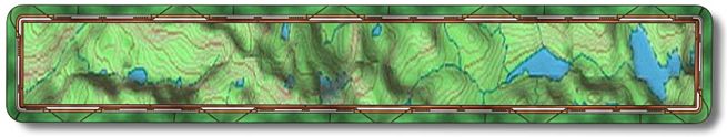
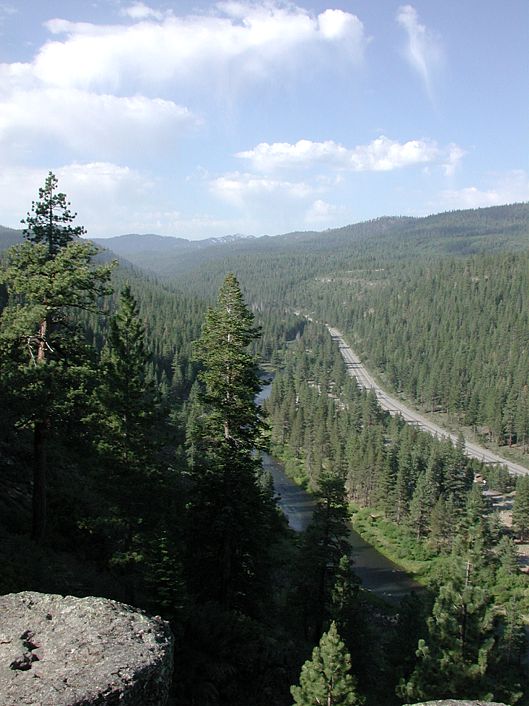
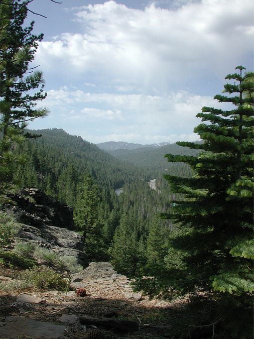
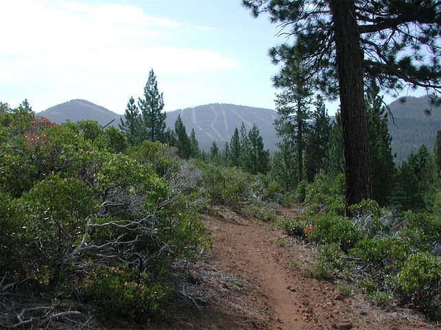
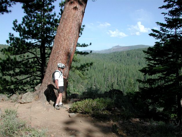
The Sawtooth Ridge Trail is a great trail to acclimate yourself to the altitude. At about 11 miles overall this trail winds along the ridge above the Truckee River with an altitude ranging between 6200' and 6500'. There is only one noticeable climb and it's a gentle one. To say it "winds" along the ridge and through the forest doesn't really do it's 9000 plus turns justice. I admit 9000 may be a bit of an overstatement but you'll know what I mean after you've ridden it. It has fantastic views of the Truckee River, Squaw Valley (in the distance), Northstar and even Castle Peak. To get there from Truckee head south on Brockway Road (old Route 267) to Palisades Road where you will go right. Palisades becomes Ponderosa Drive then you make a right on Silver Fir Drive. Next is a left on Thelin Drive then just after that turn look for forest service road #06 with an open gate. Go up the road for less than a mile to a large dirt parking area on the right (N39.18.6088 - W120.11.4909). The trail starts mid parking lot heading north then bending back to the west. Shortly after you leave the parking lot you will cross straight over a dirt road and continue on the single track. Just under a mile from the car and after the first 500 turns along the single track you will come to your first view of the Truckee River and surrounding areas. Here is Al with Castle Peak off in the distance. At mile 1.85 you will come to an intersection that you will go right on. If you forgot something at the car you could go left and ride back down the road to get it. Near the end of the ride you will come from the left at this intersection. As you ride on, a trail will come in from the left at mile 2.9 that you'll ignore. There is a loop that goes out to a viewpoint at mile 3.2 (N39.16.9621 - W120.12.1157) that you should take. Stay to the right on the way out and on the way back to the main trail, which will be at mile 3.6. Mile 5.2 will bring you to a gravel road that you will ride straight across to the single track. If you wanted to go back to the car at this point you could go left on this road otherwise stay on the single track. There will be a single track running right to left at mile 6.2 that you will cross over. At mile 6.4 go left onto the double track road (N39.16.5677 - W120.11.0173). After riding up the road for a tenth of a mile you will make a right back onto the single track (N39.16.5453 - W120.11.0729). Mile 9 (N39.17.7180 - W120.11.8200) presents you with a sign indicating that you are on the Sawtooth Trail, which continues straight ahead. Tahoe City is to your left and Truckee to your right. Shortly after crossing the road you will go right on the trail you came out on. You will be back at the car in less than 2 miles from here. About half way back the bro did his best impression of a narcolepsy episode. On a very slow turn he all of a sudden layed it down. From behind it looked as though it happened in a millisecond. He's up and riding - now he's napping. At a speed of 1mph he was unhurt but at a loss on how it happened. The number of turns on this trail are exaggerated but there are so many that for the most part you really can't get going very fast because of them. And it is the turns along with the views that make this trail a must do when you are in the area. It is an easy ride physically with lots of fun semi technical turns. I would take a new rider on this trail that has decent balance and confidence. (NOTE:) Remember all mileages and GPS waypoints may not be
accurate as my equipment may not be calibrated like yours so always be prepared
by talking with locals and/or picking up a map from one of the many local
bike shops before you venture out. |
Site created by D. J. Gabbard |