Temperance Flat Trail

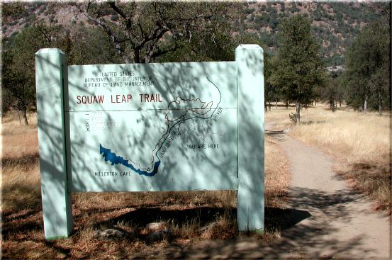
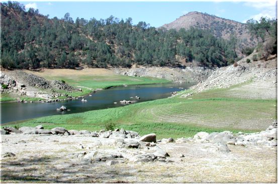
The Temperance Flat ride is similar to parts of the Sky Harbor to Squaws Leap Trail. It's a bit tougher overall than the Squaws Leap Loop Trail and is longer by 5 miles. It doesn't have the sustained climbs the Loop Trail has but there are plenty of short steep hills. It also doesn't have the long downhill the Loop Trail has but the scenery is better. I haven't seen a snake in the 4 or 5 times I've done it though I'm sure they are there. Its 12.5 miles out and back with 2270' of total climbing. It is moderately 
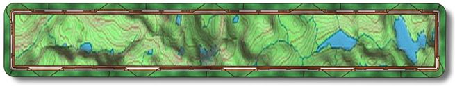
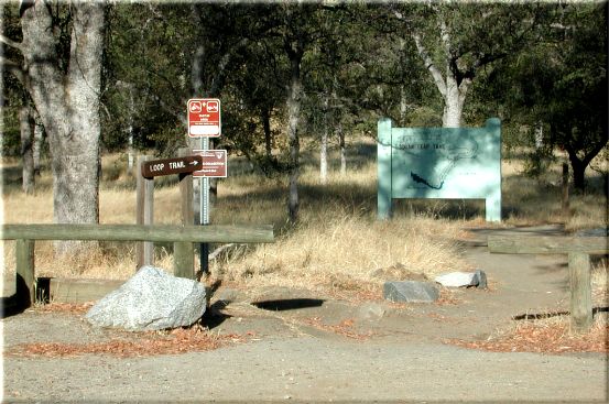
hard due to its length and climbs. This trail starts in the same place as the Squaws Leap Loop Trail.

The Temperance Flat ride is North West of the town of Auberry and is on BLM land. It is well marked and in good condition. To get to this ride you can go up Friant Road to Prather and then go left on Hwy168 or just go up Hwy 168 till you get to Auberry Road (approx. 25 miles from Fresno). Go left to Auberry and after you pass through town make a left on Power House Road. There is a school on the left just before the turn. Go 1.9 miles then make a left on Smalley Road. There is a sign there for Squaws Leap. 4.5 miles down the road there will be a parking area on the right (N37 04.9815 W119 33.2529). The trail starts on the left of the parking area. 20 yards down the trail there is a sign with both the Temperance and Squaws Leap Loop Trails.

In a little over a mile down the trail you will have gone through two gates and come to the bridge over the San Joaquin River . This once great river was the largest salmon producing river on the west coast of North America before it became the most dammed river in the US. I believe there is something like 17 dams along its length. The only section that is natural today starts north of the Minarets and ends in Mammoth Pool out of North Fork. This is one of our major ecological screw-ups.

After crossing the bridge you will climb up a few hundred yards to where the River Trail splits. The split is 1.1 miles (N37 05.5834 W119 33.2249) from the start. You will go left at this intersection. This part of the trail takes you up and away from the river. At mile 1.9 (N37 05.5905 W119 33.7821) make a left to go back down to the river/lake. There is a sign but it doesn't give any indication that this is the trail you want. The sign relates to the loop trail.

Less than a 1/2 mile down you will come to a gate (mile 2.3 - N37 05.3008 W119 33.8030). Go through the gate shutting it behind you. After the gate you will come to a sign indicating a "View Point". Not much of a view point in my opinion. About a mile down from here (mile 3.5 - N37 04.4588 W119 33.9459) there is a "Y", go left.

Mile 3.8 you will get your first view of the river unless you stopped at the "View Point". A short while later you will get another view of the river, this part would be under water when the lake is full. From here on out you will be going up small sometimes steep inclines and then down the backside. There will be an old service road of some sort on your left at mile 5.2 (N37 04.0269 W119 34.4696) stay right on the single track.

The trail will have a fence on the left as you approach Temperance Flat. There will be an opening in the fence (mile 6.1 - N37 04.2284 W119 35.2482) with signs informing you that the area behind the fence is state park property. Go through the opening and head down to the lake. This campground is setup for boaters. I don't think this is used much judging by the condition it's in. The lake was down but not as much as normal for this time of year. I've kayaked through this area many times when the lake was much lower. There are some exciting rapids under this glassy water when the lake is low and at high flows.

The trail appears to go past the opening in the fence but I haven't ridden it so I can't tell you where it may go. As far as BLM is concerned the trail stops at Temperance Flat.

On your way back you will need to make a right at mile 10.6 (N37 05.5883 W119 33.7850) and another right at mile 11.4 (N37 05.5825 W119 33.2330) to head back down to the bridge. At mile 12.5 you should be enjoying something cool to drink at your car.

Site created by D. J. Gabbard
Copyright © 2000-2004
All rights reserved.